The World Health Organisation (WHO) has stated that it can help prevent a health epidemic with its GIS technology, a mobile phone app used in 43 countries in Africa
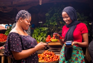
How it works: Health workers visit remote villages to check if local residents have any symptoms of a range of life-threatening infectious diseases, including polio and measles. Then, with the mobile app, they quickly and easily alert WHO.
Matshidiso Moeti, WHO regional director for Africa, said, “This is one of the most exciting things that is happening in the WHO regional office in Africa.”
The system allows WHO and health ministries to monitor the visits that people and caregivers make to the most remote areas in real time and to ensure that the people most in need are being reached.
“Overlaying the geographical location of the mobile phone signal and the route of the roads, we noticed that sometimes visits were only made along the main road and not to the most remote places, which is where we need to be if there is a problem,” she explained.
“This is an absolutely powerful tool,” she exclaimed. Supported by the Melinda and Bill Gates foundation and created primarily for polio surveillance, GIS uses the AVADAR computer platform, which records changes in the health of inhabitants and identifies possible disease outbreaks.
Magaran Bagayoko, acting director of the health systems strengthening cluster, commented, “People think that this is all very high tech, but in fact, it is not–it is super user-friendly, and it gives us what we need, which is data. The AVADAR is very versatile and simple and can be used by everyone.”
With more than 6000 community outreach workers and more than 1000 health workers, the disease research and geographical control programme is the future of health surveillance, helping to ensure that the organisation not only prevents the recurrence of diseases such as polio but also eradicates them once and for all.


